
Mushroom Navigator
User guide
A quick guide to Mushroom Navigator.
First launch
Allow precise location access. The main map screen opens; the online map can be turned on or off.
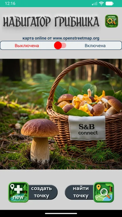
Main screen
When accuracy is ±10 m or better you are ready. “Find point” opens your spots, “Create point” adds a new one.
Create a spot
Tap “Create point” and stand still for a few seconds while coordinates settle. Enter a name (e.g. “Birch boletes by the stream”) and tap “Save”.
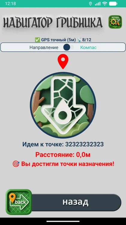
Navigate to a spot
Tap “Find point” and choose a spot. Follow the arrow; switch to compass mode if needed. Distance and a hint are shown at the bottom.
Voice assistant
On the navigation screen tap the speaker button. It announces direction and distance and warns you if you move away. Works with the screen off.
Arrival
Closer than 7 m the distance turns orange, the arrow disappears and the voice announces arrival.
Photos, video and notes
In the list tap the camera icon: edit the name and comment, add a photo or video (up to 10 s), retake or delete it.
Settings
Gear icon on the main screen: language, theme, tracks, offline map, data import and export.
Track
The “Track” button on the map → “Start recording a track”. The path is recorded even with the screen off. To get back, pick “Walk back along the track” in Settings → “Tracks”.
Offline map
Settings → “Offline map”: choose a region, the app shows the file size and asks for confirmation. Use Wi-Fi. When the online map is off, the downloaded map is shown — no internet needed.
Backup to a file
Settings → “Import/export”: save an archive to Downloads or Google Drive — it survives uninstalling the app.
Accuracy depends on the open sky: in the open GPS usually gives 3–10 m; in dense forest, ravines and near buildings the error can reach 20–50 m. The app shows the current accuracy — save a spot when it is good.